The digital trend in tourism is becoming a real movement. It is taking the show everywhere in the world. This is deep, especially as experienced and young travelers have taken a long leap into technology. As everyone in the tourism world goes digital, Ruboni could not wait to join the movement, by adding her tourist attractions on open Street map.
It was an insightful step of the journey, as Ruboni village members saw the mapping process unfolding for their village, on the Open Street Map. Most tourism stakeholders have been active for a full year, finding, exploring, and posting Ruboni tourism features and attractions on this digital map.
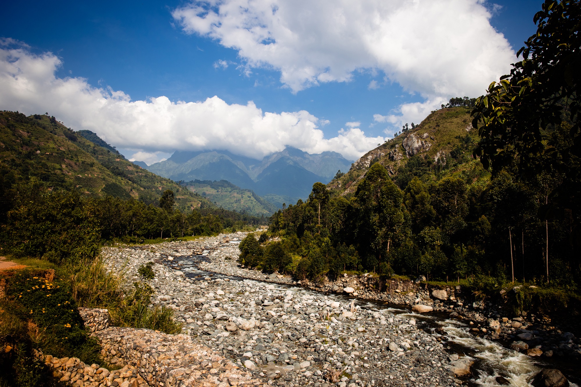
Ruboni is a small village located in the foothills of the Rwenzori Mountains, in Kasese district, Western Uganda. This village is drained by River Mubuku as it flows from the Rwenzori Mountains on its journey to Lake George in Queen Elizabeth National Park then heads to join the Kazinga channel, lake Edward, and Semuliki River heading to join the Albert Nile.
Before the idea of mapping came up, the local tourism players struggled in different directions, trying to increase the visibility of their village in the tourism market. Over the years, road signs have been planted, brochures printed, and websites made. These yielded but only a small margin of guest numbers. The story of Ruboni didn’t get to the world as much as it should.
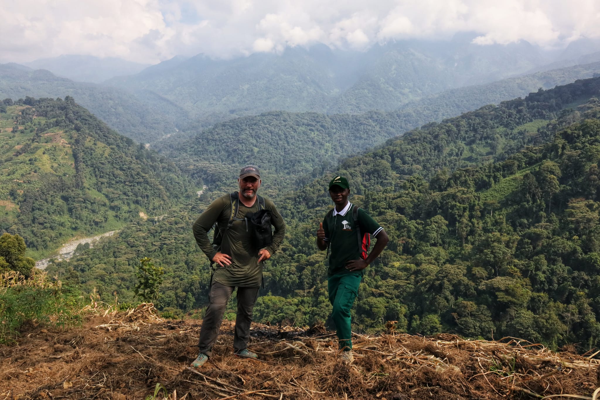
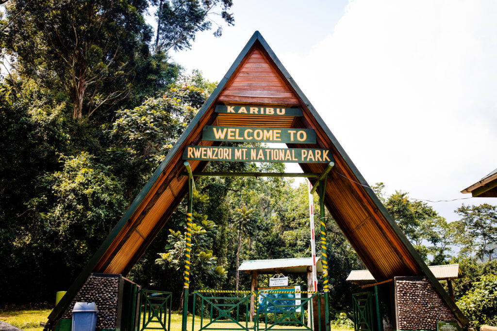
We know where the reason for none visibility could be coming from. lack of proper pulicity and promotion, that is well answered by the mapping project in several ways. Originally, Ruboni was only known for being The Base Camp for tourists trekking the Rwenzori Mountains through the Nyakalengijo central circuit trail leading to Margarita Peak.
Ruboni Community Camp is the pioneer of community tourism in this area, and most tourism enterprises look up to it for leads in the market and service provision. This is either by sharing its staff, trainees, products, or initiatives. You could tell by learning that most of the other tourism enterprises that have formed have a linkage to Ruboni Community Camp in one way or the other.
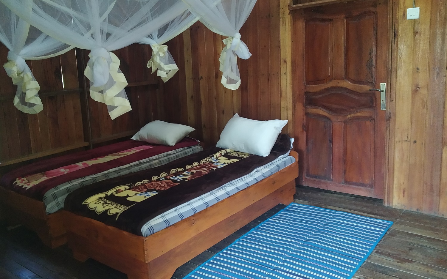
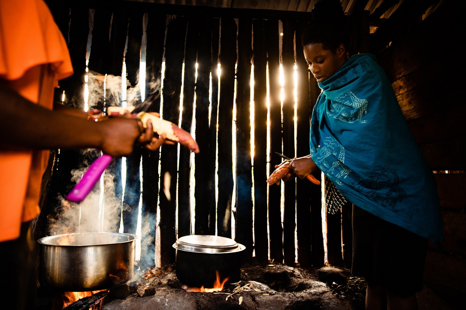
In the year 2005, Ruboni village residents started community tourism initiatives. This was to lure tourists to stay longer in the village before and after trekking the Rwenzori Mountains. This local community tourism initiative started with one campground, and one village walk. 15 years down the road, Ruboni village was boasting over ten lodges, five village tours, and other tourist centers and offices. This has all been done with the main stakeholder being Rwenzori Mountains National Park, The major attraction in the area.
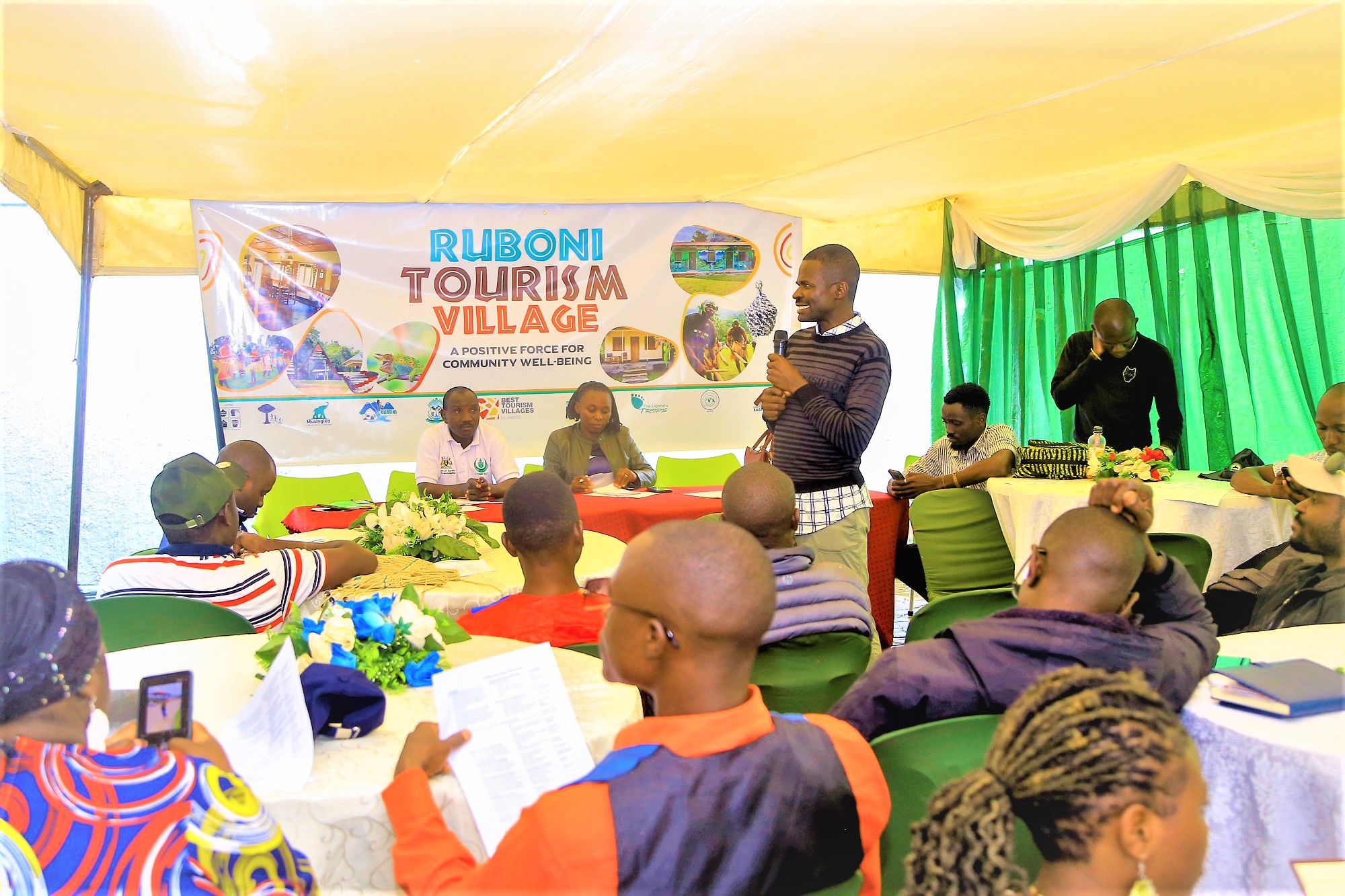
At one point, It was necessary that all other tourism businesses and enterprises should be able to fetch visitors directly from outside the village rather than depending on Ruboni Community Camp efforts. This is the point when the idea of mapping started forming in the minds of the local tourism players. This was a mission to change the old tune to ensure that there is more inclusiveness and full community involvement in community tourism. This team of thinkers chose to consolidate the entire village’s tourism potential and to sell it as one. Ruboni Community Conservation and Development Program (RCCDP), the founder of Ruboni Community Camp has been the leader in nurturing this idea for one year since May 2022.
The recognition of Ruboni tourism village potential by The Best Tourism Villages of UNWTO, in 2021 was the gateway to hatching the consolidation idea. This recognition was a result of the joint efforts by several stakeholders including; Ruboni Tourism Village, Uganda Community Tourism Association (UCOTA), Kasese District Local Government (KDLG), The Ministry of Tourism Wildlife and Antiquities (MTWA), and the local tourism players. Shortly after, as the village was participating in the UNWTO exchange programs with other like-villages around the world, Open Street Mapping came top on the list of priorities.
Ruboni Tourism Village has therefore had to go digital. The first step was taken in May 2022, when the Humanitarian OpenStreetMap Team (HOT) and East and South African Hub (ESA HUB) provided technical and financial support under a one-year partnership. The project; Mapping Ruboni village tourism attractions; accommodations, tourist trails, and tourism centers, on Open Street map to enhance their visitation and competitiveness in regional tourism has been implemented under this partnership.
This addition of Ruboni on open street mapp has been a manifestation of small beginnings and innovations leading to changing the entire game. The results of mapping are already making life very easy for the whole lot of travelers, and village residents. The youth are now aware of their tourism development roles, all tourist businesses are able to add themselves to the map and other digital promotion tools, and the tourism players are now able to collectively solve their tourism marketing challenges. Travelers have started navigating this part of the region with ease and we anticipate that the numbers will grow with time. The inclusion on the Open street map is enabling travelers to find the travel goodies hidden in this Rwenzori foothills village, off the Kasese – fort portal road.
It cannot be overemphasized that Fort Portal – Kasese Road is the ideal route for travelers who want to explore a true Ugandan heritage in nature, scenery, and culture. It runs north and south of the Albertine rift valley. This makes it one of the leading tourist routes in Uganda and a key part of most trips running between Queen Elizabeth and Kibale National Parks. This Positions Ruboni Village in a strategic tourism location
The Albertine is a hotspot of Uganda’s key National parks. This road, therefore, connects Albertine’s tourism potential. It connects seven of ten of Uganda’s National Parks; Murchison falls, Kibale, Semuliki, Rwenzori, Queen Elizabeth, Bwindi, and to the far south, Mgahinga Gorilla National Parks. Besides the many wildlife parks, this route connects a whole lot of cultures in close to 20 tribes in three kingdoms/ regions of Kigezi, Rwenzori, Tooro, and Bunyoro.
It is evident that the digital inclusion of Ruboni Community Camp, tourism village and such a rich tourism mix was way overdue. By now, we can confirm that the addition of the village on the open street map has brought to light, another great holiday and livelihood opportunity making it easy and a great reason for every responsible traveler to visit this part of the country.